Quarter 1 Project Rubric - Padlet
Click here! Brainstorming is about to happen.
Quarter 1 Project
NEL Quarter 1 Choice Project
Due: Thursday, October 31
Choices:
You can present your project in a variety of ways, whatever makes sense to you! We are going to stay clear of powerpoints and slideshows. Be creative!
-Website
-Song/Poetry
-Art Gallery
-Brochure/Pamphlet
-Building/Creating Something
-Movie
-Story/Book
-Other - something else that you may think of!
Due: Thursday, October 31
Choices:
- Hiking/Outdoor Organizations - Organizations such as the Appalachian Mountain Club, Dartmouth Outing Club, Green Mountain Club, etc. are organizations that promote the outdoors, promote environmental conservation/sustainability, maintain trails, educate the community, etc. How do these organizations do these things? What is conservation and why is it so important? How do they maintain the trails?
- Fire Towers and Wildfire History - On our trip up Mt. Cardigan, we learned that a wildfire is the reason for the bald top and that fire towers are scattered throughout New England to help find and mitigate wildfires. What is the history of these fire towers? How have wildfires changed the landscape in other places? Are there active fire towers today?
- Ecosystems - We’ve experienced a variety of ecosystems on our hikes - alpine zones, bogs, wetlands, hardwood forests, etc. Where do we see them? What types of living things and vegetation inhabit there? Where do we seem them in New England/our hikes?
- Forest Structure - On many of our hikes (particularly Black Mountain, Mt. Cardigan, and Moosilauke), we witnessed changes in the forest structure as we ascended the trail into higher elevations. How did the forest structure change? What causes these changes?
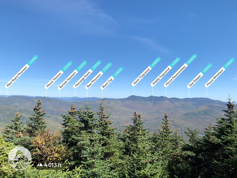
- Topography - We’ve learned about topography and how to read the landscape to help us prepare for our hikes. Has there been one or two (or more) trails that have been particularly interesting to you? Or did you notice how our trails so far have been different from one another?
- Weather Patterns - We’ve experienced some freaky weather, from the fog on Cardigan to huge gusts on Moosilauke. And the weather has made us change our plans as well, with 80mph winds on Washington and the bomb cyclone that postponed Peacham Bog. How have we used the weather to help plan for our hikes, and why is it important? How can the weather be drastically different at the base of the mountain vs. the summit? Or even in different geographic locations in the same day (think about Mansfield vs. Washington vs. Moosilauke). Are there any major historical weather events surrounding these hikes/locations?
- Propose a project - Is there something else that has interested you? Let’s try to choose something meaningful to you that has really interested you (you cannot do something about just hanging out with your friends at the summit). Maybe there was a hike that was particularly challenging but now has special meaning to you? Or something else you experienced on the hike that really sparked your interest?
You can present your project in a variety of ways, whatever makes sense to you! We are going to stay clear of powerpoints and slideshows. Be creative!
-Website
-Song/Poetry
-Art Gallery
-Brochure/Pamphlet
-Building/Creating Something
-Movie
-Story/Book
-Other - something else that you may think of!
Mount Cardigan - 10/3/19
Research to get ready for the hike!
Check the Weather - Search for Cardigan Mountain
All Trails - Learn more info about the trail we will be taking "West Ridge Trail"
https://outdoors.dartmouth.edu/activities/hiking/hikes/cardigan.html - more about the hiking trail
Topography Map of Mount Cardigan - What does the terrain look like? What other mountains do you expect to see around it?
Google Earth - use this to learn more about the surrounding landscape!
History/Culture/Other info - click on the links below to learn more about Mount Cardigan's History and some other features around there.
- https://blog.nhstateparks.org/the-cardigan-climb/
- https://www.outdoorbasecamp.com/park_reviews/northeastern_states/new-hampshire/cardigan-state-park/
- http://www.nhfamilyhikes.com/firetowerhistory.php
- http://www.firelookout.org/lookouts/nh/nh.htm
- https://www.summitpost.org/mountain/151544
- https://www.outdoors.org/lodging-camping/lodges/cardigan/
- https://www.eastcoasthiker.com/trails/cardiganfiretower/
Survey!
9/26 Hike - Washington, Mansfield, or Moosilauke?
Because of some potential weather snafues that could be happening tomorrow, you are going to do some research to help figure out where we should hike tomorrow (NOTE - WE ARE HIKING!) Use the links below to learn about the trails, look at trail maps, topography, and weather. Make sure for weather, you find the summit to read the summit forecast!
Links You Need:
AllTrails - click on the link and type in your mountain/trail to learn more about it
Summit Forecast for the Presidentials - this tells you the weather for the Presidentials (this is where Washington is)
Moosilauke Topo Map
Washington Topo Map
Links You Need:
AllTrails - click on the link and type in your mountain/trail to learn more about it
Summit Forecast for the Presidentials - this tells you the weather for the Presidentials (this is where Washington is)
Moosilauke Topo Map
Washington Topo Map
Mount Mansfield - hiking on 9/19/19
Articles - choose 3 of the 4 articles to read and gather some cultural and historical information about Mt. Mansfield and Smuggler's Notch!
NOAA Weather - check the forecast of Underhill AND the summit for this coming Thursday. How should you prepare?
Mount Mansfield Online Topographic map - Gather some information about the topography of Vermont's Highest Peak (choose the 2018 map)
Trail Map and Book - Take a look at the trail map and book about the trail we will be taking. We will be taking the Sunset Ridge Trail. What do you need to know about the trail to get ready for it on Thursday?
